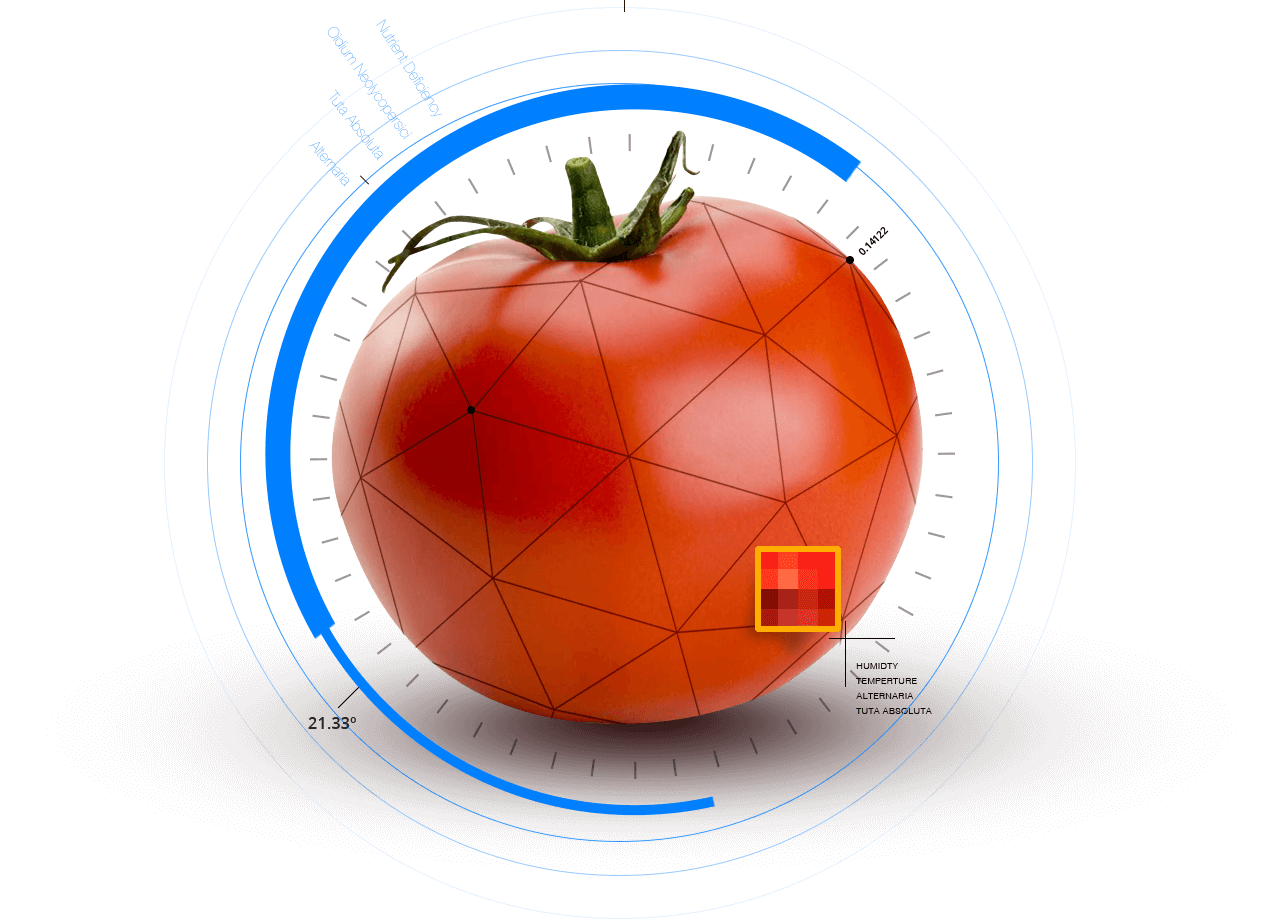
This privately funded project is the most expansive UAV enabled precision agriculture project in Greece to date. It consisted of an adapted to the customers’ needs service, that utilized multispectral sensors and satellite photographs to visualize the growth and health status of tomato crops. Our services enabled tomato producers, regardless of skill level, to stabilize their harvests and reduce cultivation costs, while implementing environmentally friendly farming. At the same time, our in house developed, tailored made to our clients requirements, business intelligence platform provided accurate yield predictions, management advice and business analytics to all production chain stakeholders.
Canning Tomato Monitoring
Project
Project Specific Data
- 28000 Acres Total Surveyed Agricultural Area
- 3720 UAV Flights
- 3100 Multispectral Captures
- 620 Digital Surface Model - 3D Captures